
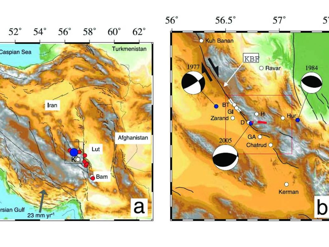
The 25 February 2005 Dahuiyeh–Zarand Earthquake in Central Iran: Reactivation of an Intra-Mountainous Reverse Fault
Project Leader: Dr. Morteza Talebian Year: 2007
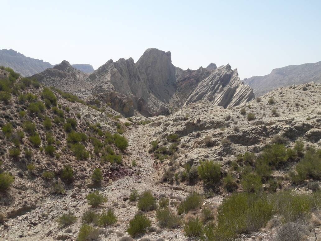
Preparation of 1:50,000-scale geochemical exploration and heavy mineral maps
Excutor of project: Dr. Afshin Akbarpour Project Period: 2024–2026 (1403–1405) Six 1:50,000-scale geochemical exploration and heavy mineral map sheets in South Khorasan Province (Darreh, Parang, Kho...
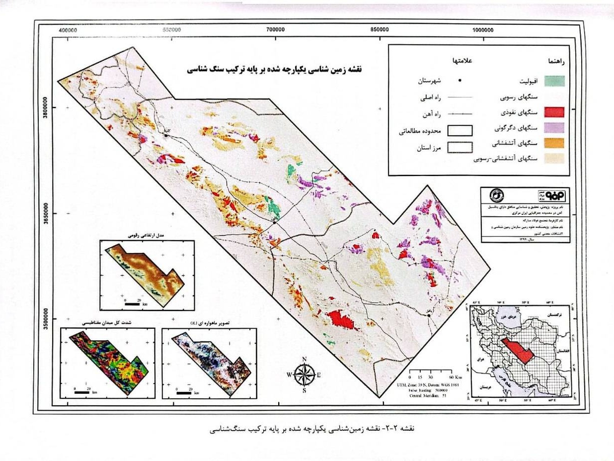
Geology and Reconnaissance Phase for Identifying Iron-Potential Areas in the Tarom–Takab Region
Project Manager: Dr. Mahmoudreza Majidifard Year: 1400
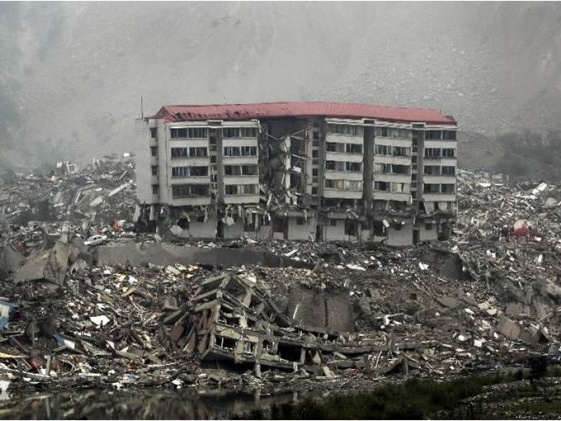
Seismic Hazard Analysis Mapping Project for Iran
The scarcity and uneven distribution of data are among the fundamental challenges in earthquake hazard assessment, not only in Iran but also in most seismically active regions of the world. Since the...
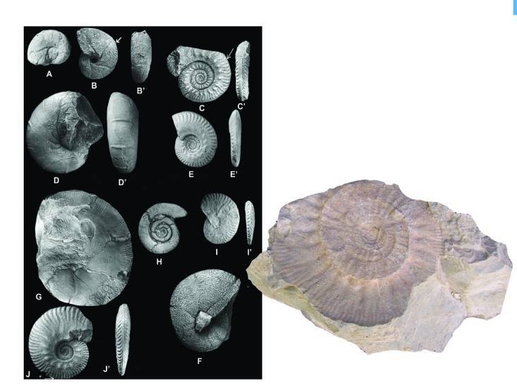
Study of Callovian Ammonites in Northeastern Iran
Project Leader: Dr. Mahmoud Reza Majidifar Year: 2018
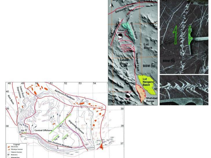
Block Rotation: Relationships between Tectonic Movements, Block Configuration, and Their Function in Nature
Project Leader: Dr. Mohammad Reza Ghassemi Year: 2023
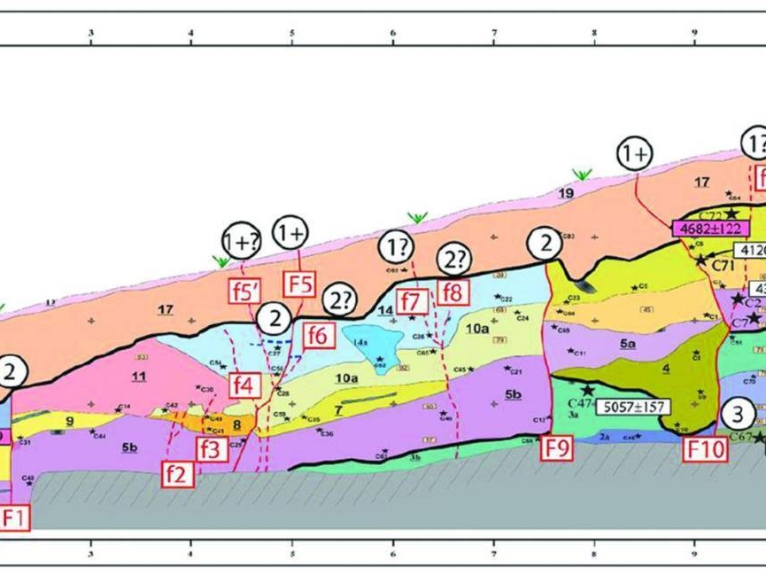
Active Tectonics along the Caspian–Alborz Fault, Iran
Project Manager: Dr. Hamid Nazari Year: 1400
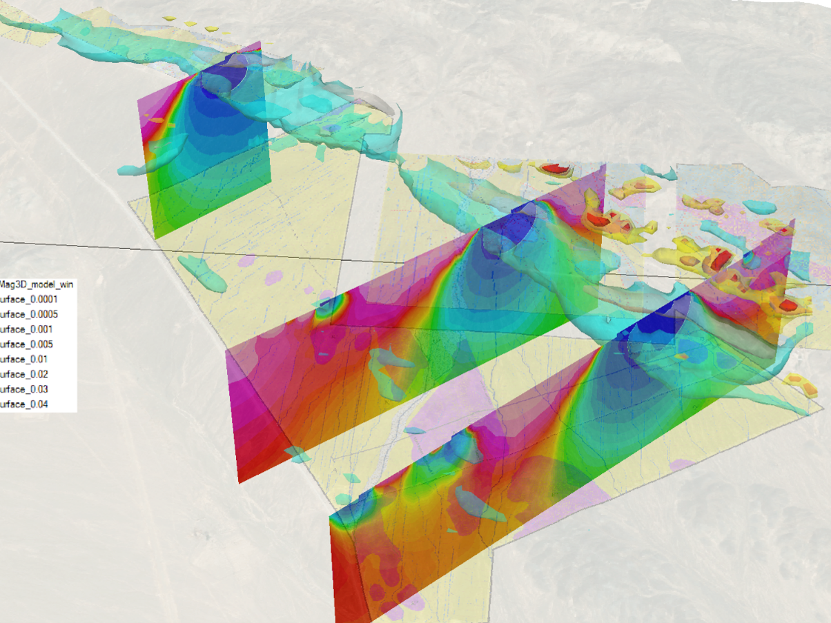
Magnetic Surveys for the Assessment of Sulfide Mineralization Potential in a Target Area, Nain County, Isfahan Province, Iran
Project Leader: Dr. Mehdi Mohammadi Vizheh Client: Zaryab Negareh Kourosh Co. Year: 2025 Magnetic surveys were carried out in the study area to delineate geological units, identify hydrothermal alte...
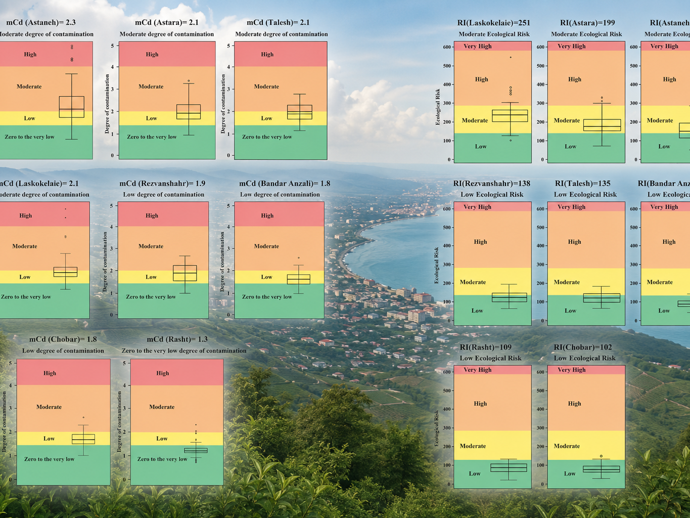
Integration of Environmental Pollution Maps of the Coastal Belt of Gilan Province at a Scale of 1:50,000
Project Director: Dr. Alireza Va'ezi Year: 2024 (1403) Client: Geological Survey and Mineral Exploration of Iran (GSI) Gilan Province is confronted with significant environmental challenges due...
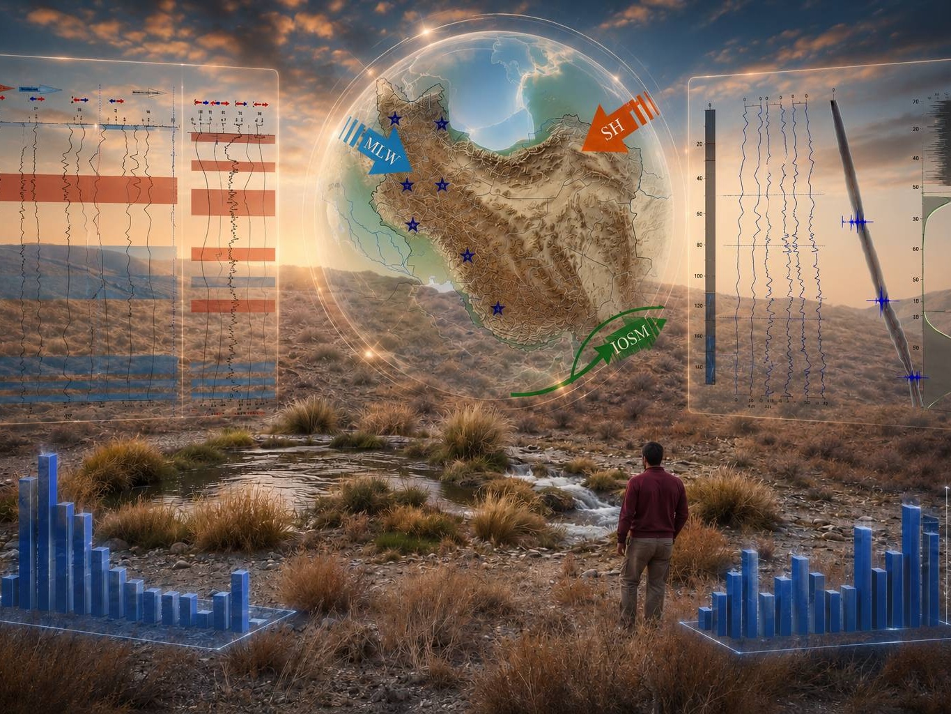
Reconstruction of Late Holocene Climate and Environmental Changes in South-Central Iran over the Past Three Thousand Years Using Multiple Sedimentological, Geochemical, and Biological Proxies from a Sediment Core Obtained from a Peatland in Southern Rayen
Excutor of project: Dr. Alireza Vaezi Year: 2024–2025 Client: Geological and Mineral Exploration Organization of the country The present study aims to reconstruct late Holocene climatic and envir...
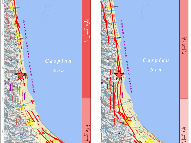
Investigation of the Geomorphotectonic and Seismotectonic Characteristics of the Astara Fault (Western South Caspian)
Project Leader: Dr. Hamid Nazari Year: 2012–2017 In general, the most prominent topographic feature in the study area associated with the Astara Fault System is the Talesh Mountain Range, which exhib...
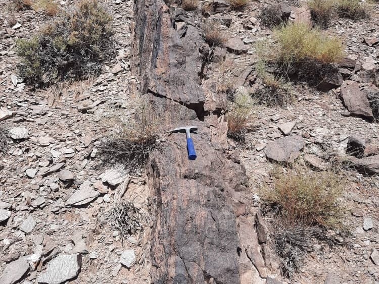
Research, Investigation, and Identification of Areas with Iron Potential within the 116,000 km² Geographic Area of Central Iran
Project Leader: Dr. Mahmoud Reza Majidifar Research Advisor: Dr. Razieh Lak Research Advisory Supervisors: Mohammad Sadeghi – Mohsen Sheikhan Executive Team: Seyed Hadi Mir-Mohammad Miguni – Seyed...