Research, Investigation, and Identification of Areas with Iron Potential within the 116,000 km² Geographic Area of Central Iran
Project Leader: Dr. Mahmoud Reza Majidifar
Research Advisor: Dr. Razieh Lak
Research Advisory Supervisors: Mohammad Sadeghi – Mohsen Sheikhan
Executive Team: Seyed Hadi Mir-Mohammad Miguni – Seyed Hossein Tayebi
Client: Hamidreza Azimian
Client Supervisors: Mohammad Yaser Tayebnia – Alireza Rezaei
Project Overview
The Research Institute for Earth Sciences, in line with its commitment to strengthening industry–university collaboration and drawing on its technical and engineering capabilities as well as the expertise and experience of its experienced exploration specialists, undertakes identification and exploration studies of metallic and non-metallic mineral resources for private and governmental investors and clients.
Since 2020, the Institute has conducted the identification phase of iron exploration covering approximately 15% of the country for major steel producers, including Mobarakeh Steel Company, Isfahan Steel Company, Kavir Steel Company, and other private-sector entities, as part of preliminary exploration studies.
The implementation of these studies has been carried out within the framework of joint contracts and funded by the respective clients. Some of the activities undertaken are outlined below:
Mobarakeh Steel
Research, Investigation, and Identification of Areas with Iron Potential in Central Iran, Covering an Area of 116,000 km²
- Study and processing of 70 geological map sheets at scales of 1:25,000, 1:100,000, and 1:250,000.
- Study and processing of 51 geochemical map sheets at a scale of 1:100,000.
- Satellite data: 15 OLI scenes, 94 ASTER scenes, and 48 Sentinel scenes.
- Use of published airborne geophysical survey data covering 116,000 km² with flight-line spacing of 7.5 km, and 18,800 km² with flight-line spacing of 250 m.
- Deployment of 150 field-team days for field operations and collection of 600 exploration samples.
Isfahan Steel
Research, Investigation, Identification, and Reconnaissance of Areas with Iron and Fluorite Potential in Semnan Province, Covering an Area of 23,000 km²
- Study and processing of 21 geological map sheets and 17 geochemical map sheets at a scale of 1:100,000.
- Satellite data: 5 OLI scenes, 29 ASTER scenes, and 15 Sentinel scenes.
- Use of published airborne geophysical survey data covering 23,000 km² with flight-line spacing of 7.5 km, and 8,700 km² with flight-line spacing of 250 m.
- Completion of 150 field-team days of field operations, with 500 exploration samples collected and analyzed.
Kavir Steel
Proposed Identification-Phase Study of Iron-Potential Areas in the Tarom–Takab Region, Covering 11,000 km² in Zanjan, West Azerbaijan, and Kurdistan Provinces
The study was completed with the identification of 11 prospective iron-bearing areas.
- Study and processing of 8 geological map sheets and 8 geochemical map sheets at a scale of 1:100,000.
- Study and processing of satellite data comprising 4 OLI scenes, 13 ASTER scenes, and 7 Sentinel scenes.
- Use of published airborne geophysical survey data covering 11,000 km² with a flight-line spacing of 7.5 km.
Objectives of the Exploration Research Contracts
(Identification Phase) for Iron-Potential Areas
- Identification of suitable areas for airborne geophysical data acquisition based on exploration priorities, particularly areas prospective for iron mineralization.
- Identification of areas with potential mineralization to support and complete the exploration cycle.
Scope of Services
The overall workflow of the proposed study for the exploration of iron deposits is as follows:
1. Desktop Studies
Data and Information Collection
- Reports and documentation related to iron potential in Iran.
- Airborne geophysical data, geological maps, satellite data, geochemical data, and information on mineral deposits, mines, and mineral occurrences.
Desktop Investigations and Studies
- Study of the metallogeny of iron deposit types and determination of the criteria and factors controlling their genesis.
- Preparation and processing of geophysical, geological, geochemical, and satellite information layers, and preparation of a preliminary predictive map of areas prospective for iron mineralization within a Geographic Information System (GIS).
Data Integration and Modeling Based on the Results Obtained and Identification of Preliminary Iron Prospective Areas
- Development of a conceptual model and presentation of a genetic model.
- Weighting and preparation of evidence maps.
- Data integration and modeling and preparation of mineral potential maps.
2. Field Studies
Initial Field Operations
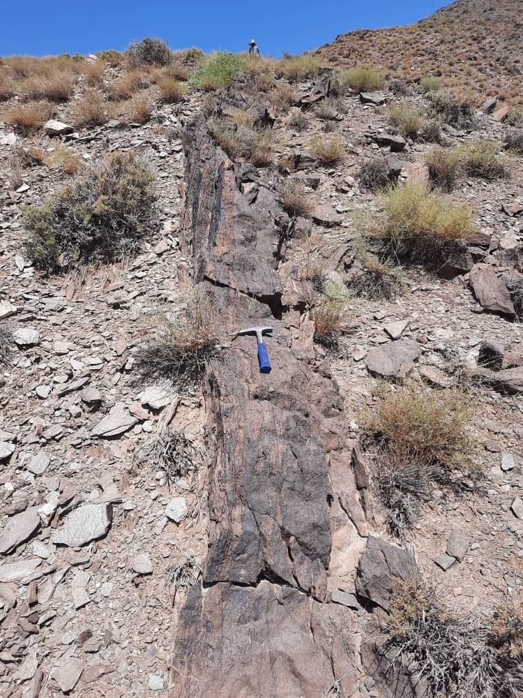
- Field reconnaissance and exploration surveys.
- Collection of required samples and supplementary data.
3. Laboratory Studies
- Analysis of collected samples and laboratory investigations.
- Interpretation of laboratory results and validation of the proposed prospective areas.
4. Exploration Operations
(This stage can be implemented after the client has completed the legal procedures for registration of the area and obtained the necessary permits.)
- Preparation of geological maps.
- Acquisition of ground geophysical profiles.
- Investigation and processing of acquired data and determination of exploration drilling locations.
- Supervision of exploration drilling and logging and study of drill cores. (Drilling operations are the responsibility of the client.)
5. Final Report Preparation
Sending comments for this product is not allowed.