
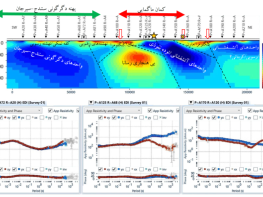
Assessment of the Magnetotelluric (MT) Method for Deep Exploration Based on Regional Profile Modeling in Kerman Province, Iran
Project Leader: Dr. Mehdi Mohammadi Vizheh Year: 2025 To enhance the understanding of geodynamic evolution, structural frameworks, and geological architecture within the Urumieh–Dokhtar magmatic a...
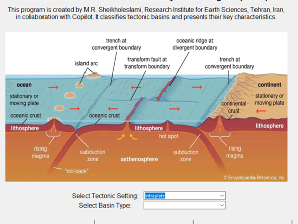
Introduction to Sedimentary–Tectonic Basin Types and Development of an Interactive Python-Based Ap
Excutor of project: Dr. Mohammad Reza Sheikholeslami The Tectono-Sedimentary Basin Program (TSBP) represents a significant advancement in digital geology tools, bridging the gap between complex ge...
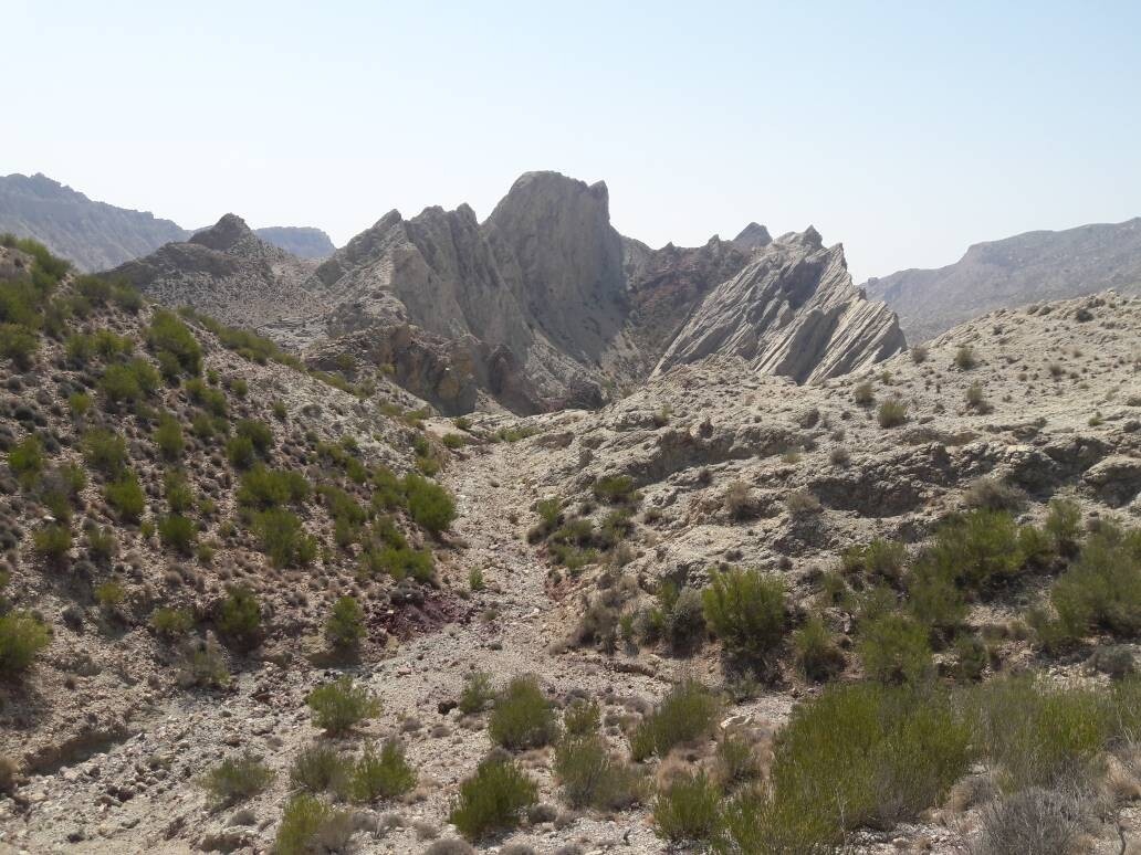
Preparation of 1:50,000-scale geochemical exploration and heavy mineral maps
Excutor of project: Dr. Afshin Akbarpour Project Period: 2024–2026 (1403–1405) Six 1:50,000-scale geochemical exploration and heavy mineral map sheets in South Khorasan Province (Darreh, Parang, Kho...
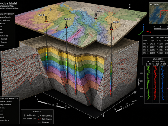
Application of Advanced Technologies in the Production of 1:25,000-Scale Exploration Maps for the Onshore Sector of the Southern Caspian Basin
Excutor of project: Dr. Mohammadreza Ghasemi Year: 2026 (1405) Application of Advanced Technologies for Producing 1:25,000-Scale Exploration Maps in the Onshore Area of the Southern Caspian Basin Th...
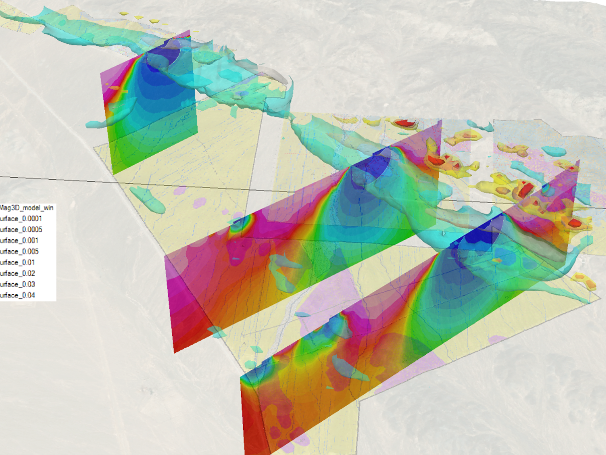
Magnetic Surveys for the Assessment of Sulfide Mineralization Potential in a Target Area, Nain County, Isfahan Province, Iran
Project Leader: Dr. Mehdi Mohammadi Vizheh Client: Zaryab Negareh Kourosh Co. Year: 2025 Magnetic surveys were carried out in the study area to delineate geological units, identify hydrothermal alte...
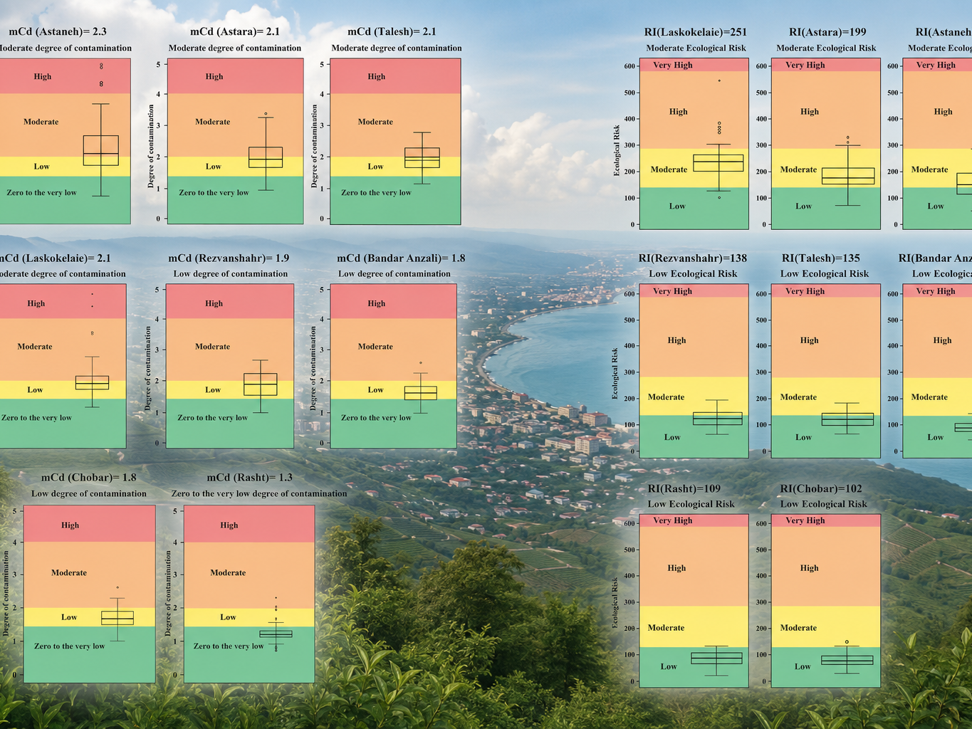
Integration of Environmental Pollution Maps of the Coastal Belt of Gilan Province at a Scale of 1:50,000
Project Director: Dr. Alireza Va'ezi Year: 2024 (1403) Client: Geological Survey and Mineral Exploration of Iran (GSI) Gilan Province is confronted with significant environmental challenges due...