
Integrated Magnetic, Electrical Resistivity, and Induced Polarization (IP) Surveys for Metallic Mineral Exploration in the Lut Region, Iran
Project Leader: Dr. Mehdi Mohammadi Vizheh
Client: Laleh Gostar Niayesh Engineering and Development Co.
Year: 2024
The magnetic survey results reveal significant variations in the total magnetic field, exceeding 4,000 nT across the study area. These anomalies are primarily attributed to the outcropping of basaltic and andesitic volcanic rocks in the southern part of the area and various tuffaceous units in the north. Depth-to-source estimation based on the magnetic data indicates that the sedimentary cover overlying the igneous basement is relatively thin throughout the prospect.
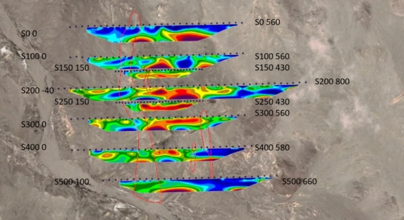
Three-dimensional inversion of the induced polarization (IP) data consistently yielded very low chargeability values, generally below 7 mV/V. These results suggest that significant near-surface disseminated sulfide mineralization (at depths shallower than approximately 70 m) is unlikely within the investigated area. An exception is observed where silica veins attain considerable thickness and exhibit potential for gold mineralization. In most cases, silica-vein-hosted zones are characterized by relatively low electrical resistivity. The distribution of silica veins and veinlets appears to be structurally controlled by a northwest–southeast-trending fault, which is also expressed as a prominent magnetic lineament marking the contact between volcanic units.
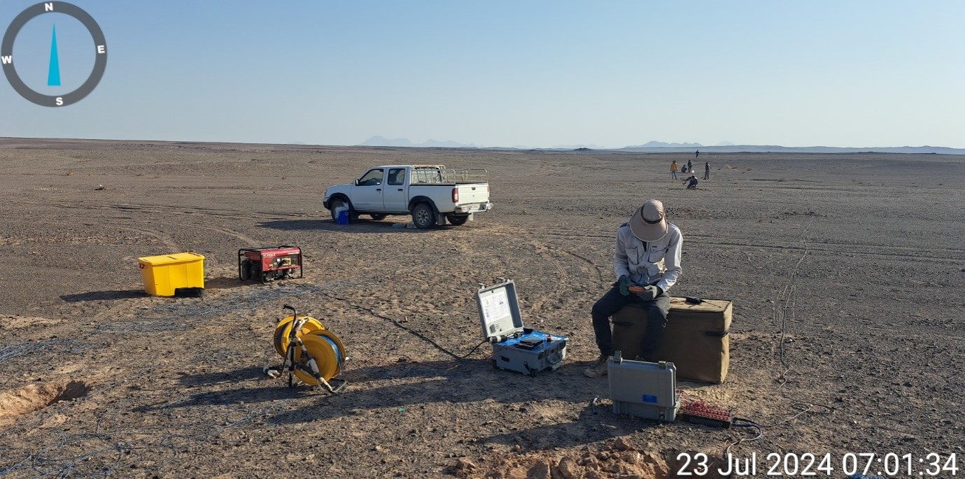
Interpretation of the electrical resistivity inversion models enabled the delineation of several prospective targets for epithermal and vein-type mineralization, some of which were selected for follow-up verification through exploratory drilling. As indicated by the chargeability models, subsurface chargeability generally increases with depth. Most of these higher-chargeability zones coincide with areas of relatively high electrical resistivity and are interpreted to represent less weathered igneous rocks rather than significant sulfide mineralization.
To investigate the identified geophysical anomalies and evaluate the potential for concealed mineralization at depth, 19 exploratory drill holes, with a total planned drilling length of 1,040 m, were recommended during this phase of the exploration program. The proposed drilling strategy was designed to verify the most promising geophysical targets and refine the geological model for subsequent exploration stages.
Sending comments for this product is not allowed.