
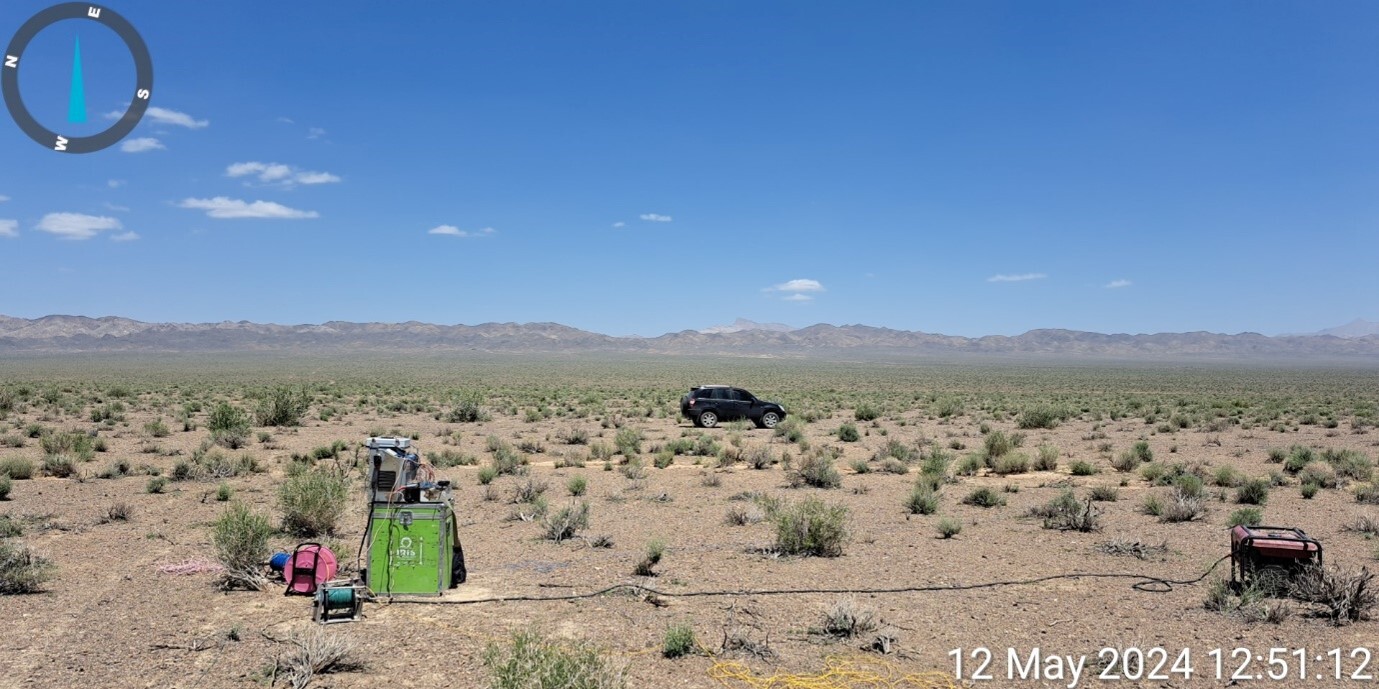
Electrical Resistivity and Induced Polarization (IP) Surveys for the Exploration of Sulfide Mineralization in the Nodoushan Area, Yazd Province, Iran
Project Leader: Dr. Mehdi Mohammadi Vizheh
Client: Arya Kansar Karmania Co.
Year: 2024
The study area is predominantly covered by alluvial terraces and fluvial sediments. The only surface evidence of copper mineralization, mainly occurring as malachite associated with silicified veins, was identified within one of the exploration trenches excavated across the area. A large portion of the prospect had previously been surveyed using magnetic methods. The magnetic survey results revealed significant variations in the magnetic field, primarily attributed to the presence of subsurface volcanic rocks, consisting mainly of volcanic tuffs interbedded with andesitic lava flows, beneath the sedimentary and alluvial cover.
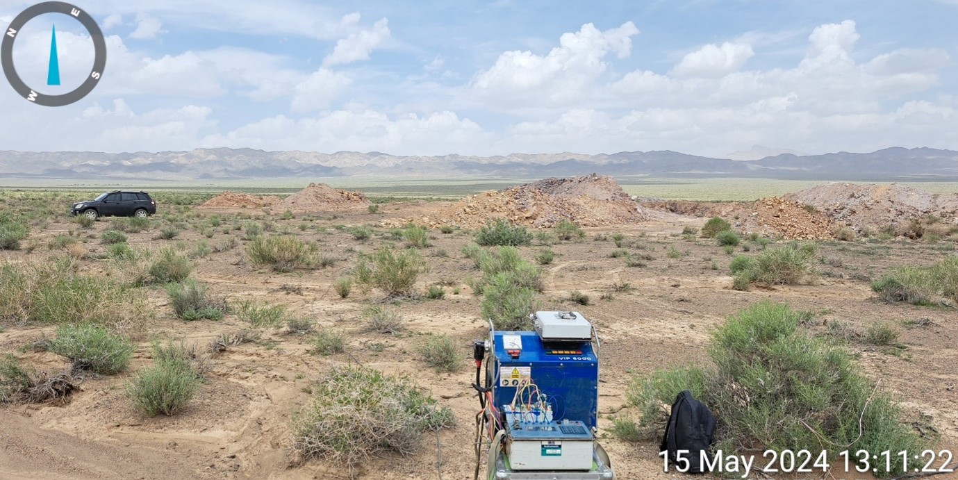
Given the limited geological exposure and the scarcity of subsurface information, borehole data are essential for reliable interpretation of the geophysical results. Three-dimensional inversion of the induced polarization (IP) data consistently indicates very low chargeability values, generally below 6 mV/V. Although chargeability alone cannot be directly correlated with sulfide grade, the results suggest that significant disseminated sulfide mineralization is unlikely to occur within the investigated area. Nevertheless, interpretation of the electrical resistivity inversion models enabled the delineation of several prospective targets for epithermal and vein-type mineralization, some of which were selected for verification through exploratory drilling. Additional drill holes were also designed to investigate the potential source rocks responsible for the inferred mineralization.
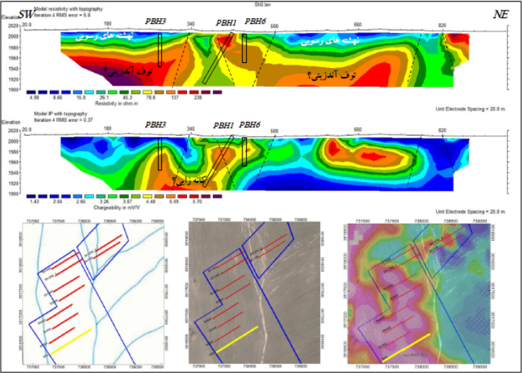
To further evaluate the magnetic anomalies and assess the presence of sulfide mineralization at depth, a total of 11 exploratory drill holes, with a cumulative drilling length of 625 m, were proposed in this phase of the project. The locations and priorities of the drill holes were determined through integrated interpretation of the resistivity and induced polarization models together with mapped faults, fracture systems, and geological units derived from both geophysical and geological investigations. Several drill holes were intentionally designed as inclined boreholes to intersect major fault and fracture zones considered favorable pathways for hydrothermal fluid migration and potential mineralization.
This integrated geophysical approach provides a robust framework for prioritizing exploration targets in covered terrains and reducing geological uncertainty prior to drilling.
Sending comments for this product is not allowed.