


Explanation of geomorphological changes deltas during the Holocene (Case Study: Arvand delta)
Executor of project: Dr. Raziye Lak
Project Associates: Dr. Maryam Rahmati - Dr. Mojtaba Yamani - Dr. Siavash Shayan - Dr. Manuchehr Farajzade
2017
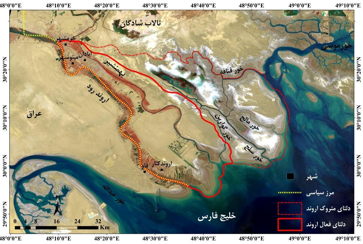
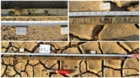
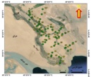
Deltas are the most dynamic geomorphological landforms which simultaneously affected by the sea and land processes. Arvand delta due to the very low slope in foreshore during the last period of the Quaternary to the present influenced the eustatic changes of Persian Gulf and river sedimentation has experienced many changes that from foundation – Applied Geomorphology point of view so far has not been studied. The aim of this study is to achieve the changes and evolution of the Arvand Delta. Accordingly, seismic data, land hydrodynamics (discharge-sediment, wind) and sea hydrodynamics (wave and tidal and sea currents) had used to study the effective processes on Delta's changes at present and geochemistry, granulometery and dating results of sediments obtained from the 7 cores, for studying the delta morphogenesis processes during the past (Holocene). The results of historical sources, geodynamic station data of Abadan - Ahwaz and the distribution of the earthquakes above the 4 Richter in relation to the distance of active and important faults, in order to investigate the effect of tectonic movements on river channel avulsion and evolution delta, indication of the low mobility and influence of the earth crust on the displacement and changes of the delta landforms in the past and present. Study the rate and direction of shoreline displacement during the past 60 years, in relation to human activities (particularly damming) via technique DSAS represents delta progressing equivalent of 3/8 Km. The most operations of delta-making have been during the period of time 1955-1973. The greatest amount of progressing in the mentioned period has reverse relationship with damming activity in the upstream region. longshore currents as an indirect factor and tidal currents as a direct factor were recognized as the main factors in the creation and transformation of coastal landforms. Results of XRD, ICP and granulometry Analyze of 47 sedimentary samples from cores (A total of 56 m drilling) cannot correctly do the analysis the sedimentation processes of Delta. In contrast, geochemical analyzes (elemental and mineralogy analysis) of sedimentary samples has been able to better determine the relationship between sea-level changes with delta progressing. The results of sedimentary paleoenvironments reconstruction and delta morphogenesis processes in relation to Persian Gulf level changes, 4 sedimentary environments identified: fluvial plain, brackish–freshwater marsh, deltaic and marine (tidal). Results of carbon isotope analysis (in order to time reconstruction of sedimentation process) and the isotope of oxygen (in order to reconstruction of past climatic conditions) along with other previous studies showed Arvand delta due to the interference of active fluvial processes (about 3000 years ago) with progradation and transgression of sea (about 9,000 to 3,000 years ago) is formed. Arvand River about 2,300 years ago when the weather was colder than present (-2 /75 °) in response to gradual dropping of sea level had tried to reach itself to the lower basic level (Persian Gulf) with the rate of 3/19 mm/yr.
Sending comments for this product is not allowed.