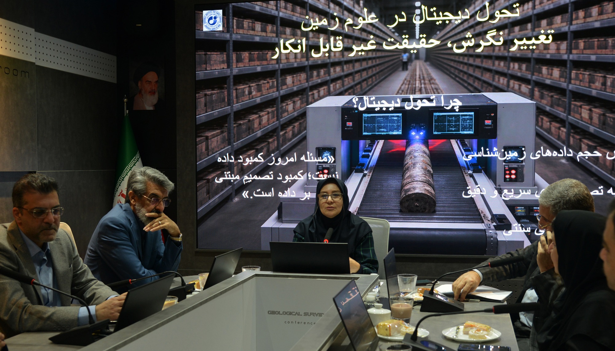
The need to modernize the research cycle, collect and interpret data, and make operational use of new capabilities, especially artificial intelligence, in the field of geosciences.
The necessity of modernizing the research cycle of earth sciences and operational utilization of data with an emphasis on the role of the Earth Sciences Research Institute
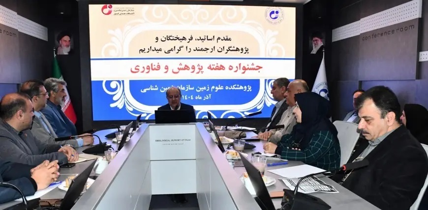
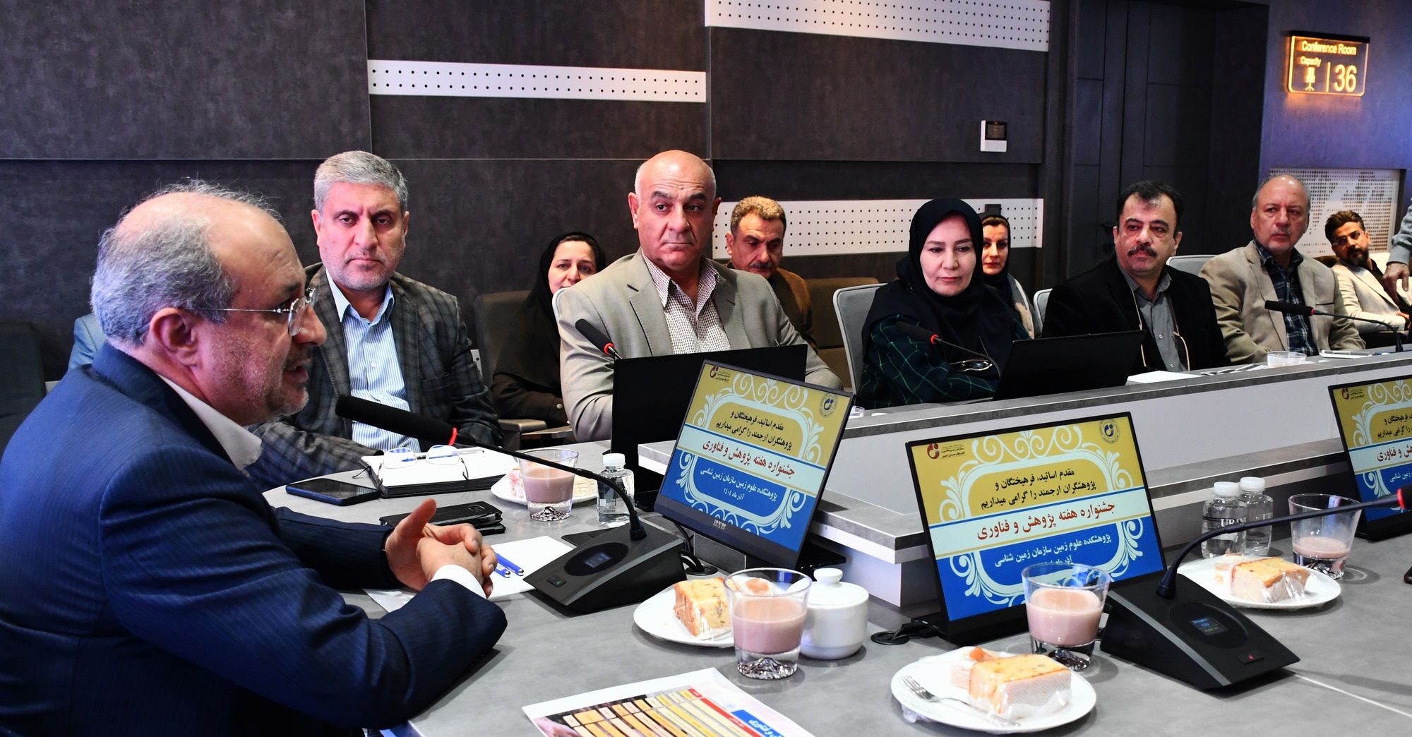
The ceremony of the Research and Technology Week program was held at the Earth Sciences Research Institute with the presence of the Deputy Minister of Industry, Mines and Trade and the Head of the Geology and Mineral Exploration Organization of the country. In this ceremony, the necessity of modernizing the research cycle, data collection and interpretation, and operational utilization of new capacities, especially artificial intelligence, in the field of earth sciences was emphasized.
 According to the Public Relations Department of the Geoscience Research Institute, Engineer Wajihollah Jafari, Deputy Minister of Mines and Energy and Head of the Geology and Mineral Exploration Organization of the country, referred to the strategic position of research and technology in the future of exploration and geosciences and stated at the ceremony: Research and technology are the main axis of progress in this field, and any backwardness in research will lead to losses in all aspects of exploration, decision-making, and development.
Referring to the existence of numerous research centers in the complexes affiliated with the Ministry of Science and Technology, he added: Although numerous research centers are active, the lack of coordination and coherence has prevented the achievement of the expected outputs. In the meantime, the Geosciences Research Institute is one of the few complexes that has been able to enter the field of research operationally and play an effective role in linking research with executive needs.
Referring to the data production process in the past years, the head of the Geology and Mineral Exploration Organization of the country stated: There has been an acceptable performance in data production, but the main weakness is in the aggregation, integration and interpretation of data. With the entry of artificial intelligence into the field of geosciences, it is essential that the data, after being collected, be used analytically and practically and lead to decision-making.
Stating that the organization's approach is to modernize the research and technology cycle, Engineer Jafari said: Our goal is to create an effective connection between data production, research, technology and executive applications in the field of geology and exploration; A cycle that the Geosciences Research Institute can play a pivotal role in realizing.
He also pointed out the weakness of the relationship between the university and industry, adding: "The output of many academic researches does not reach the implementation and decision-making stage, and it is necessary to reduce this gap by identifying bottlenecks."
The head of the Geosciences Research Institute emphasizes the transition from map-centric to decision-centric
Following this meeting, Dr. Razieh Lak, head of the Geosciences Research Institute, emphasized the evolution of the missions of the Geological Survey and the Geosciences Research Institute, and stated: The future of geosciences in the country is not defined by increasing the number of maps, but by improving the quality of design and playing an effective role in the national decision-making process.
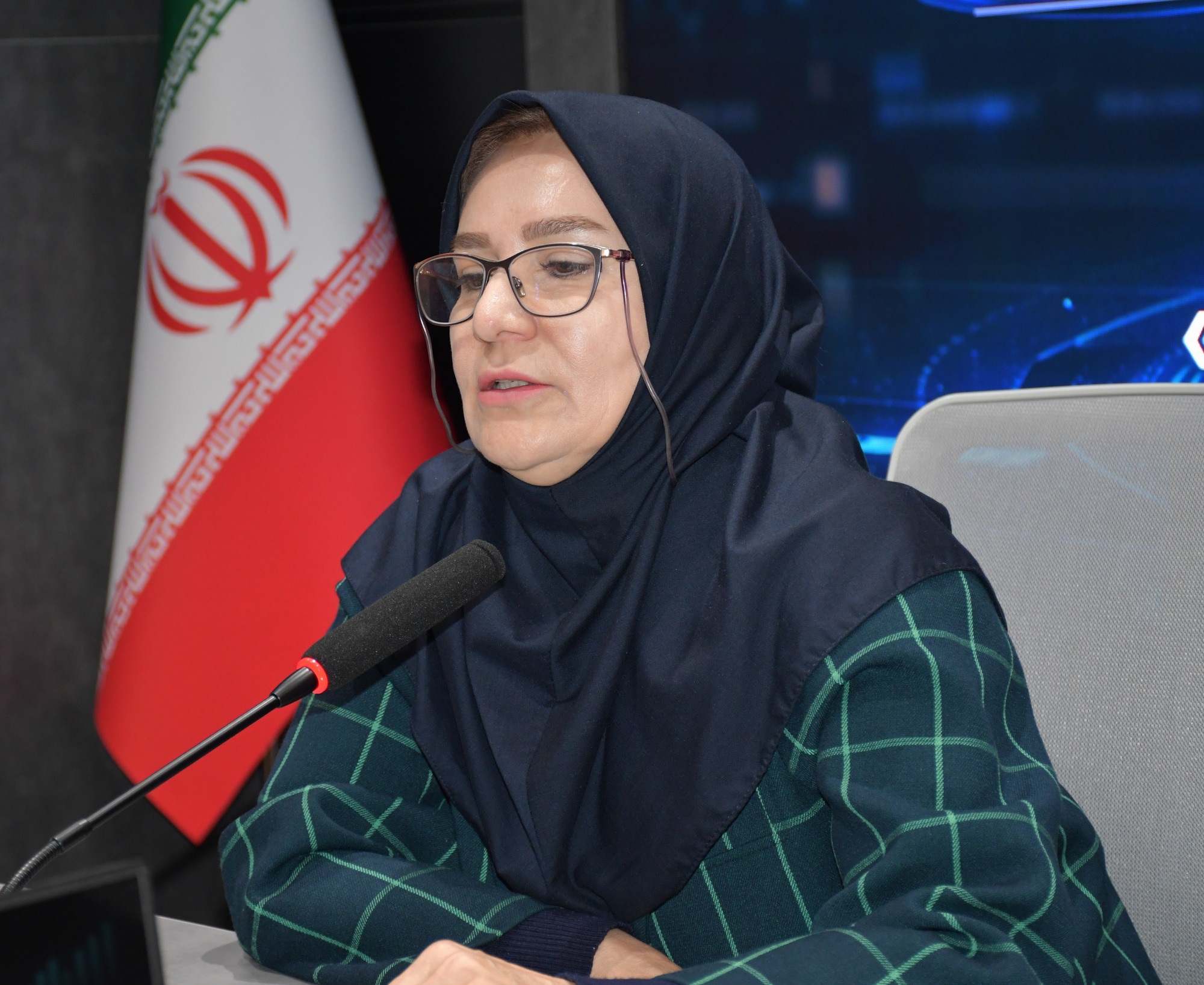
Referring to the experiences of developed countries, Dr. Lak considered geological organizations as the scientific and decision-making arm of governments and added: "Resource exploration and natural hazard management are the two main pillars of territorial governance, and maps will be valuable when they can directly influence macro-level decisions."
He emphasized: "A map should not be considered merely the final product of research, but rather a tool for answering the questions of decision-makers and supporting the country's macro-level policies. The main mission of the Geosciences Research Institute is to transform geological data and knowledge into reliable input for national decision-making."
In another part of the meeting, the role of the Geosciences Research Institute as a scientific authority for producing geoscience knowledge and linking research with policymaking was emphasized, and the need for this research institute to be more active in scientific governance, sustainable development, and reducing the country's territorial risks was emphasized.
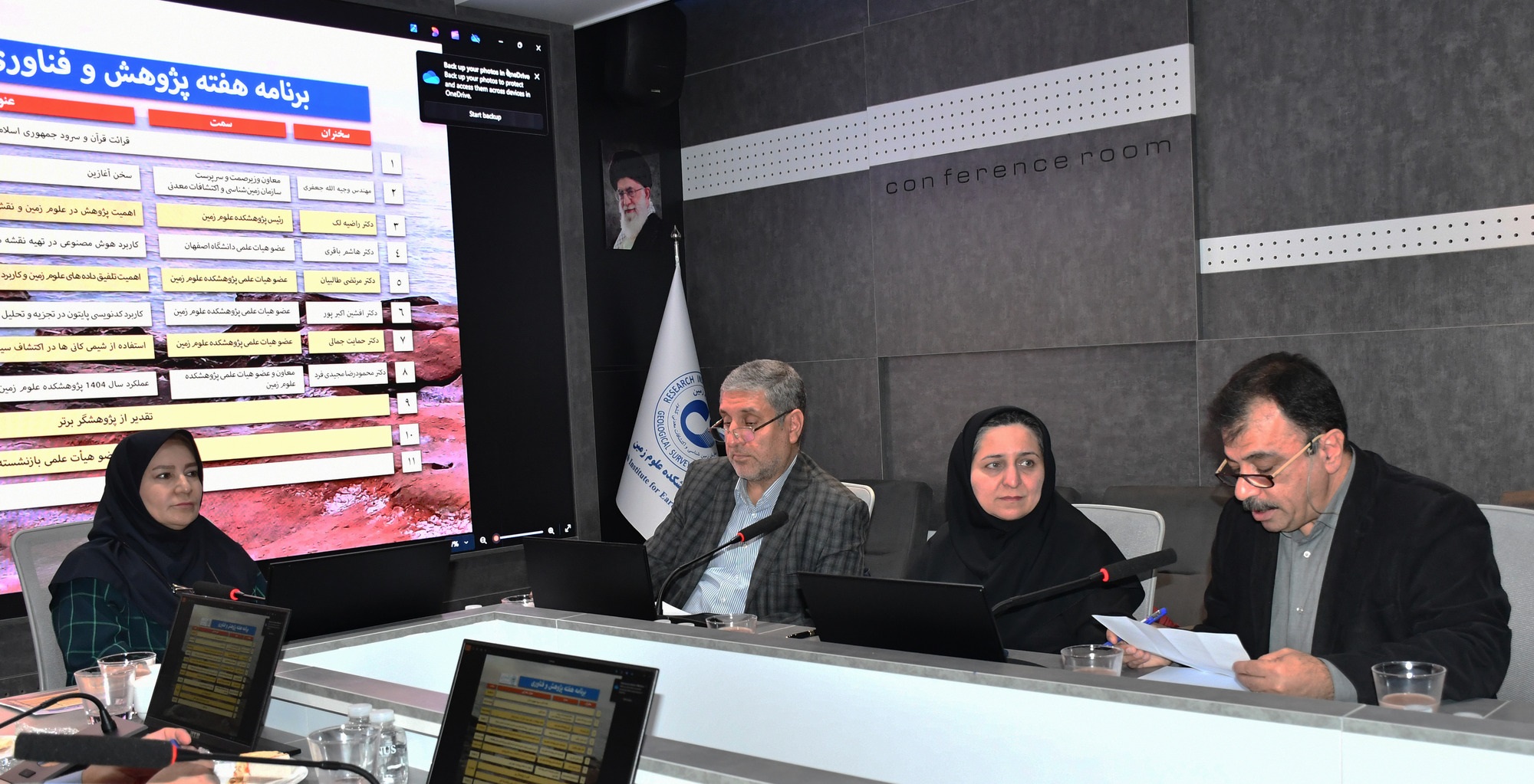
Presentation of Scientific Achievements and New Technologies at the Geosciences Research Institute
Following the program, Dr. Hashem Bagheri, a faculty member of the University of Isfahan, explained the applications of artificial intelligence in preparing geological maps and digital geological evolution.
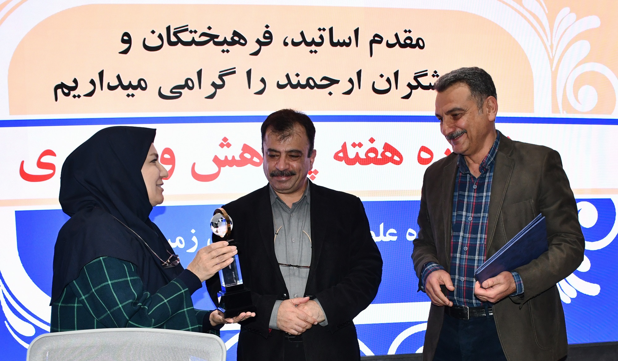
Also, Dr. Morteza Talebian, Dr. Afshin Akbarpour, Dr. Hiyat Jamali, and Dr. Mahmoudreza Majidifar, faculty members of the Geosciences Research Institute, presented specialized lectures on topics such as integrating geoscience data in developing regulations, safety of structures against earthquakes, the use of Python coding in analyzing geochemical data from 1:50,000 sheets, and the role of mineral chemistry in exploring porphyry systems. Dr. Afshin Akbarpour was also recognized as a distinguished faculty member.
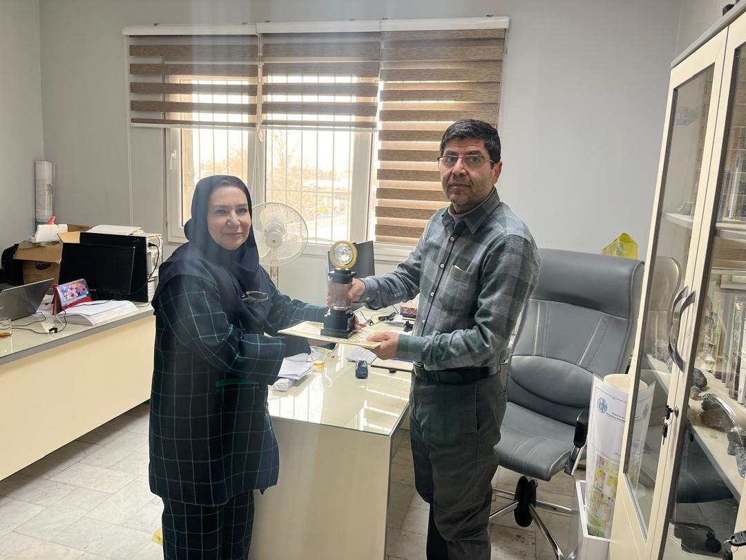
At this ceremony, Dr. Mohammad Reza Ghasemi, a member of the faculty of the Earth Sciences Research Institute, was honored as a top researcher with more than 80 ISI articles.
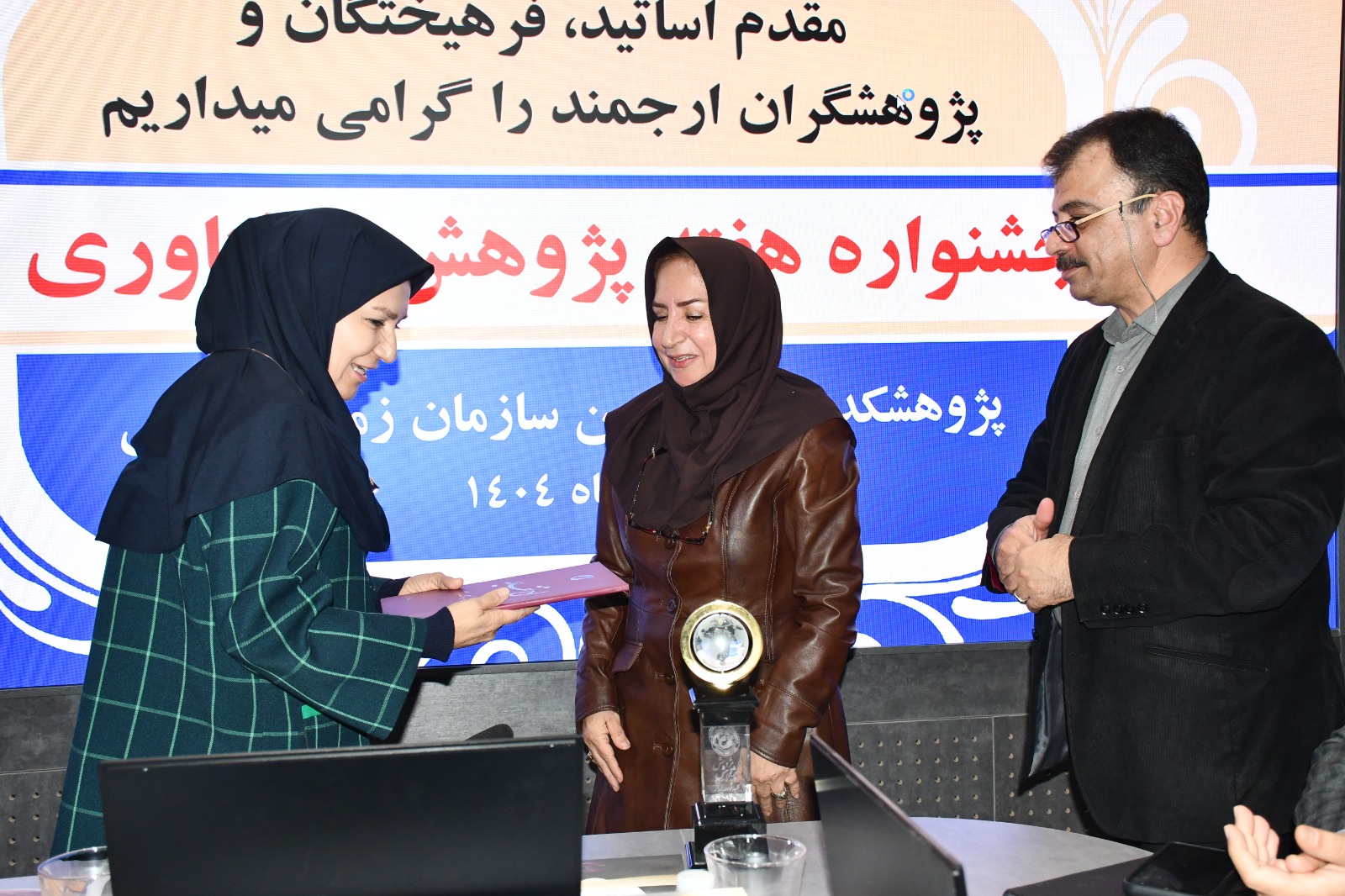
Honoring the Veterans of the Institute of Earth Sciences
The final part of the ceremony was dedicated to honoring the retired faculty members of the Institute of Earth Sciences; researchers who, through years of scientific efforts, have played an effective role in developing geological knowledge and training future generations of Earth science specialists. In this part, the efforts of Dr. Monireh Khairkhah, a newly retired faculty member of the Institute of Earth Sciences, were appreciated.

Your Comment :