One-Day Field Excursion on Field Survey Methods for Geological and Geochemical Mapping
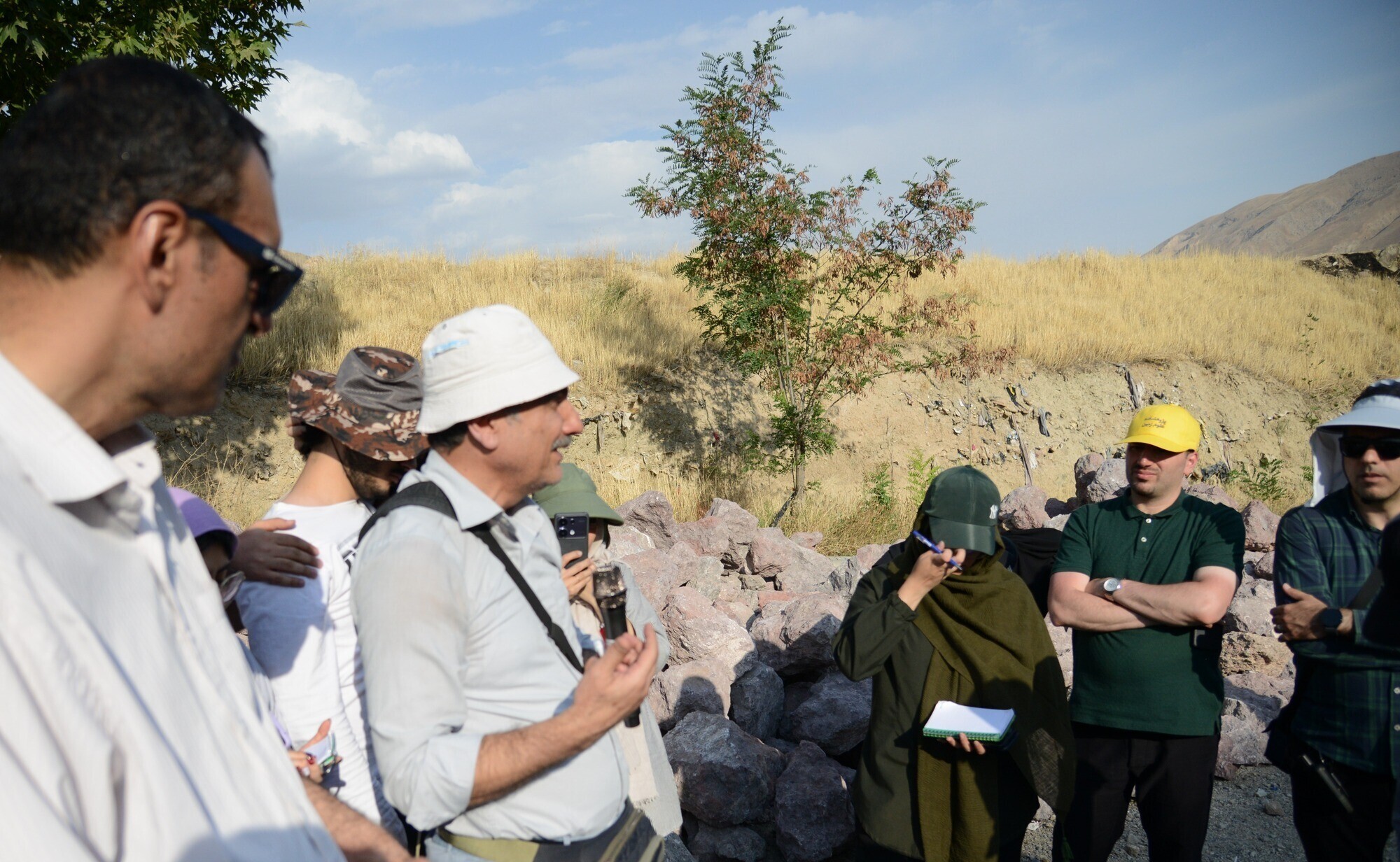
According to the Public Relations Office of the Geological Survey and Mineral Exploration of Iran (GSI), a one-day field excursion entitled "Introduction to Field Survey Methods for Geological and Geochemical Mapping" was held on Sunday, August 10, 2025, in the Lavasan area. The excursion followed a four-day theoretical training course on the same subject.
The program was organized by the Research Institute of Earth Sciences and attended by approximately 40 students and recent graduates interested in geology, mineral exploration, and geochemistry.
Dr. Alireza Vaezi, Acting Director of Capacity Building and Empowerment and a faculty member of the Research Institute of Earth Sciences, highlighted the successful implementation of the program. He noted that during the field excursion, distinguished faculty members—including Dr. Mohammad Reza Ghasemi, Dr. Morteza Khalatbari, and Dr. Afshin Akbarpour—provided hands-on instruction in sedimentary and igneous rock mapping, structural geology field methods, interpretation of geological features in natural settings, and stream-sediment geochemical sampling techniques.
In addition, Ms. Zeynab Kazeminia, Research Expert at the Research Institute of Earth Sciences, trained participants in the use of the Zamin-Bardasht software, a digital field data collection application.
Dr. Vaezi stated that the primary objective of the program was to strengthen human resource capacity, facilitate knowledge transfer between generations of geoscience professionals, and create new capabilities for producing fundamental geological data. He emphasized that the Geological Survey and Mineral Exploration of Iran remains committed to practical training and the development of skilled professionals, particularly in support of the country's geological mapping and mineral exploration initiatives.
He further noted that, given the importance of integrating theoretical instruction with practical field experience, the Research Institute of Earth Sciences intends to continue organizing field excursions on a regular basis, enabling young geoscientists to apply their knowledge in real-world geological environments.
According to the program schedule, a selected group of participants will take part in the next phase of training by joining the project team responsible for the 1:50,000-scale geological and geochemical mapping of the Naein Block, where they will gain experience through actual field operations.

نظر شما :